Flooding closes Highway 101 ramps; thousands without power across SLO County
READ MORE
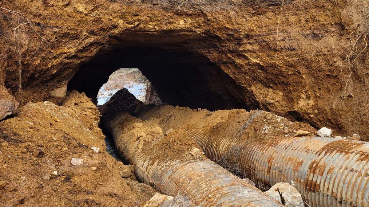
Central Coast Storms
Click on the arrow below to read more on the storms and flooding on the Central Coast.
Expand All
For more live updates on the storm hitting San Luis Obispo County, read our new story here: Live storm updates: Homes, businesses evacuated in SLO due to flooding
Update, 8 a.m.:
An additional power outage was reported in Morro Bay at 7:11 a.m., impacting 2,382 customers, according to PG&E.
Crews were en route to access the cause.
That brought the total number of customers impacted by outages Monday morning to 5,014.
Update, 7:15 a.m.:
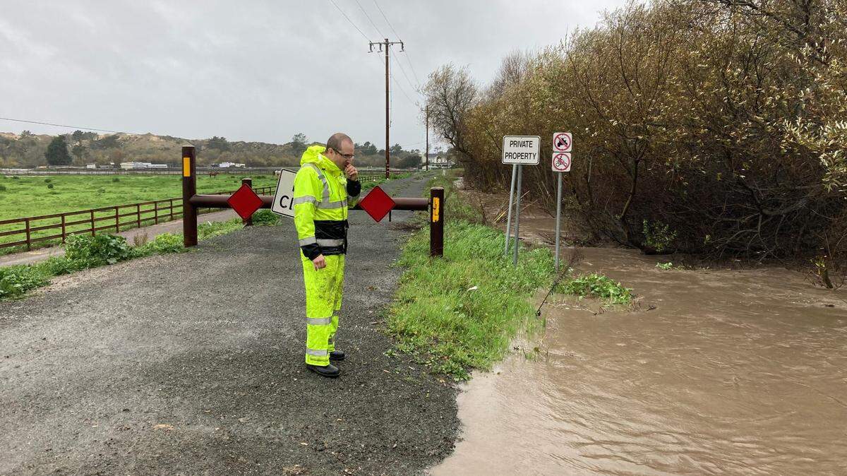
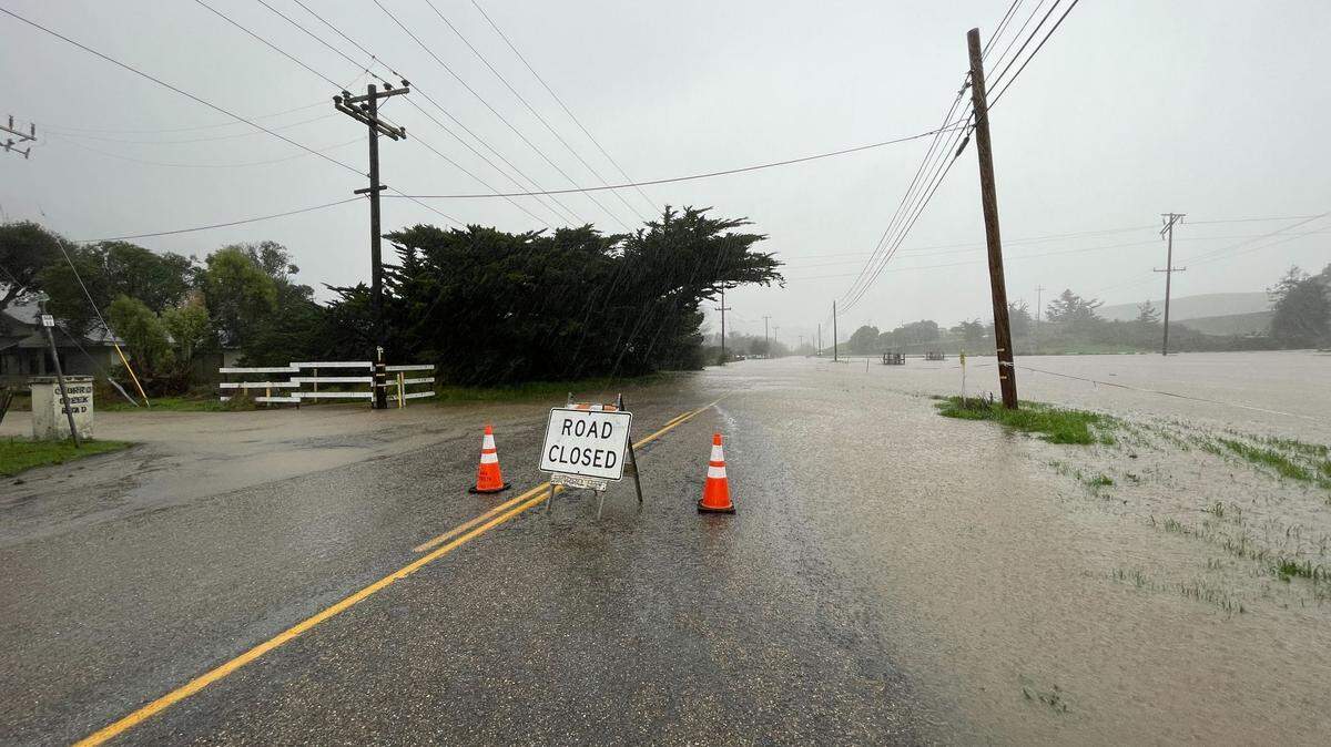
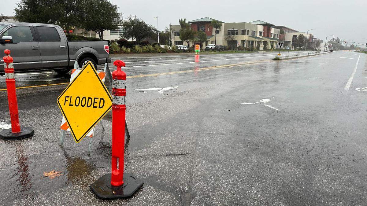
There were additional reports of flooding on Monday morning on Highway 101 at Tassajara Creek Road outside Santa Margarita and Madonna Road in San Luis Obispo.
Highway 1 between Division Street and Osos Flaco near Guadalupe was also closed.
There was also roadway flooding at Las Tablas Road and Old County Road in Templeton and a mudslide across La Panza Road just south of Stage Springs Road in Creston, according to the California Highway Patrol traffic incident page.
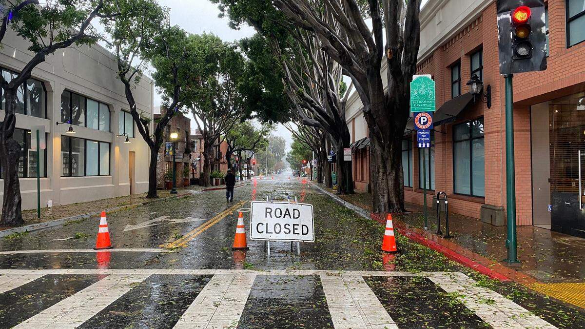
Trees were down at Prefumo Canyon Road south of Los Osos Valley Road in San Luis Obispo and at Rosina Drive and Doris Avenue in Los Osos, according to the CHP traffic page.
Update, 6:50 a.m.:
More than 2,600 customers were without power in San Luis Obispo County on Monday morning, according to PG&E’s electrical outage map.
The largest outage was in the Avila Beach area, where 1,257 customers lost power at 6 a.m.
Meanwhile, in Morro Bay, 590 customers were without electricity as of Monday morning, while 420 customers were without power in the Lake Nacimiento area, as well 232 near Cambria and 133 near Santa Margarita Lake.
All but the Lake Nacimiento outage were due to the weather, according to PG&E.
The cause of that outage was being assessed by PG&E crews.
Original story:
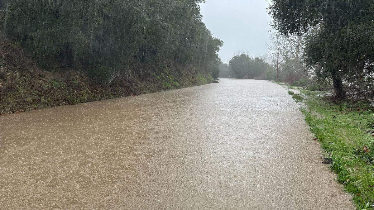
The National Weather Service issued a flood advisory for San Luis Obispo County early Monday morning, as a heavy deluge drenched the already soggy region with even more rain.
Flooding “caused by excessive rainfall” is expected across the county, the advisory warned, especially on roadways and low-lying areas and intersections.
Around 5:10 a.m., automated rain gauges indicated that rainfall rates had increased to one-third to two-thirds of an inch per hour across western portions of the county, with some higher elevations reporting up to three-quarters of an inch per hour, the NWS said.
“Flooding of roadways is imminent and likely to continue through at least mid morning,” the advisory read.
The current storm is expected to drop more than 4 inches of rain in many parts of San Luis Obispo County through Tuesday, though rainfall of up to 10 inches is possible, the NWS warned.
It comes after a minor storm system swept through over the weekend on the heels of a stronger “bomb cyclone” event late last week.
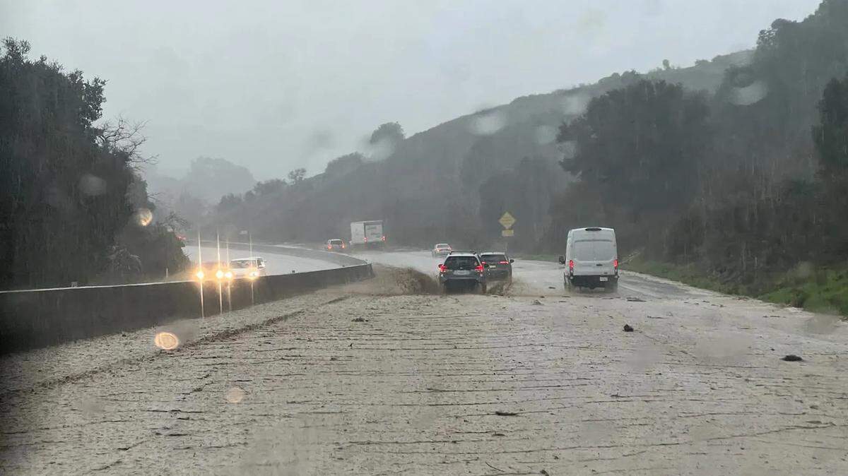
As of Monday morning, there were already several reports of roadways flooding across the county, including Riverside Avenue in Paso Robles; Highway 1 at Kansas Avenue; Foothill Boulevard and Highway 101 at Marsh Street in San Luis Obispo, and Tefft Street in Nipomo.
The Highway 101 on and off ramps at Marsh Street were being closed due to flooding on the Marsh Street Bridge as of 6:25 a.m., according to CHP’s traffic incident report page.
Meanwhile the Salinas River in Paso Robles is expected to exceed monitor stage by 5 p.m., according to the NWS, peaking at around 24 feet.
The advisory was expected to expire at 9:30 a.m., though San Luis Obispo County is also under a separate flood watch alert which was expected to remain in effect through Tuesday, according to the NWS.
A high wind warning was also in effect for the region, due to anticipated winds of between 25 to 35 mph, with gusts of up to 60 mph. That warning will expire Tuesday night, according to the NWS.
This story was originally published January 9, 2023 at 5:53 AM.
%20Cropped.jpg)


.JPG)


_fitted.png)
.JPG)