Evacuation warning issued for Central Coast burn areas as storm slams into region

READ MORE
Central Coast Storms
Click on the arrow below to read more on the storms and flooding on the Central Coast.
Expand All
Public safety officials are warning people to remain vigilant and be prepared as another major winter storm takes aim at Santa Barbara County early in the coming week.
On Sunday afternoon, an evacuation warning was issued for South Coast neighborhoods that were ordered vacated during last week’s big storm. That voluntary warning is likely to escalate to a mandatory order on Monday.
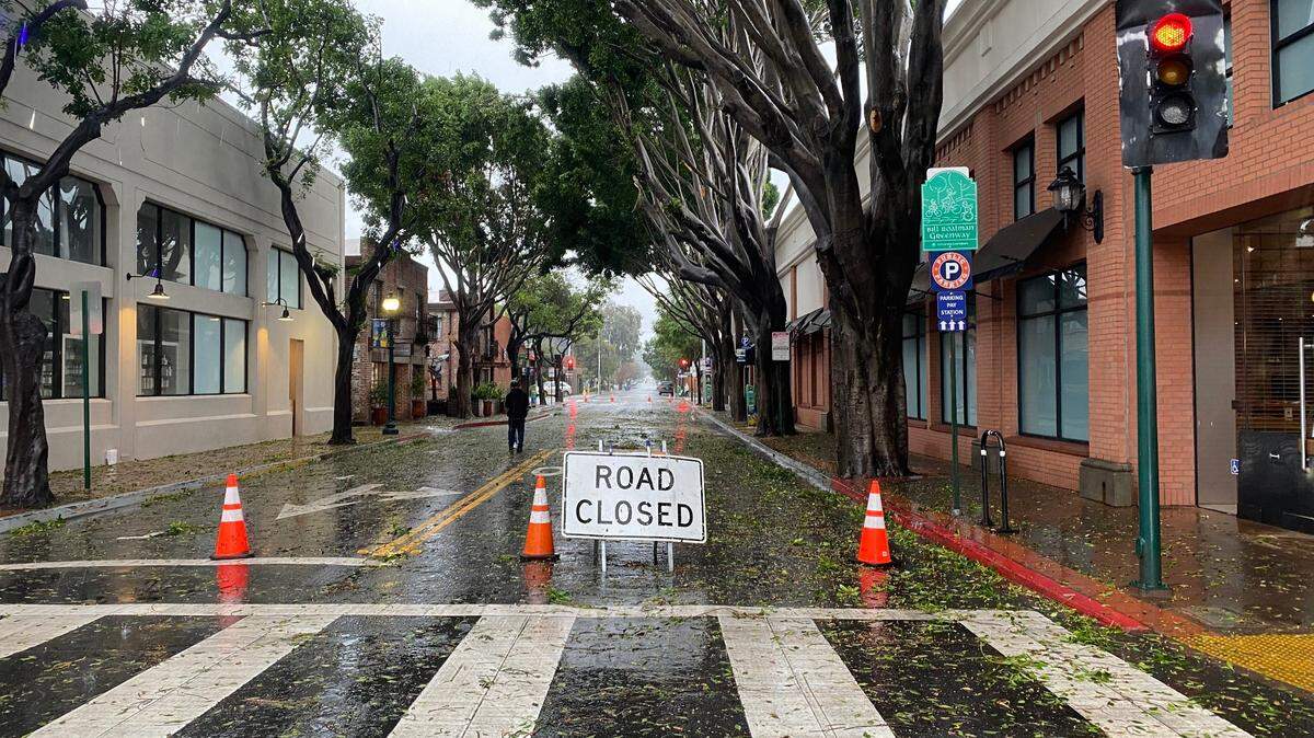
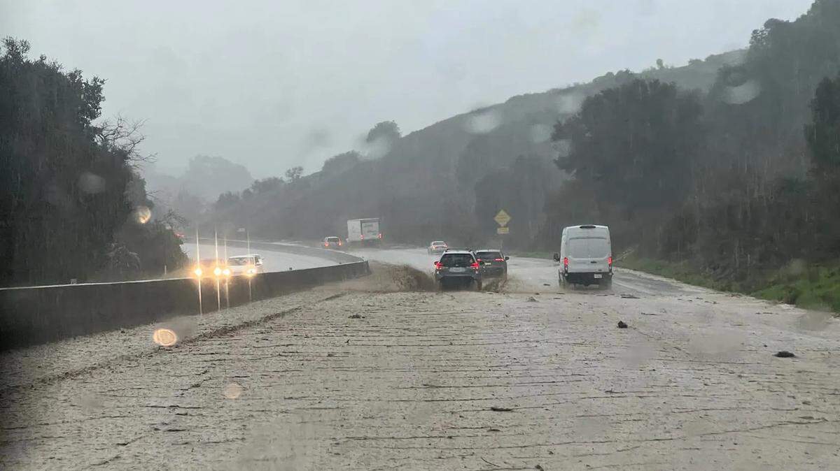
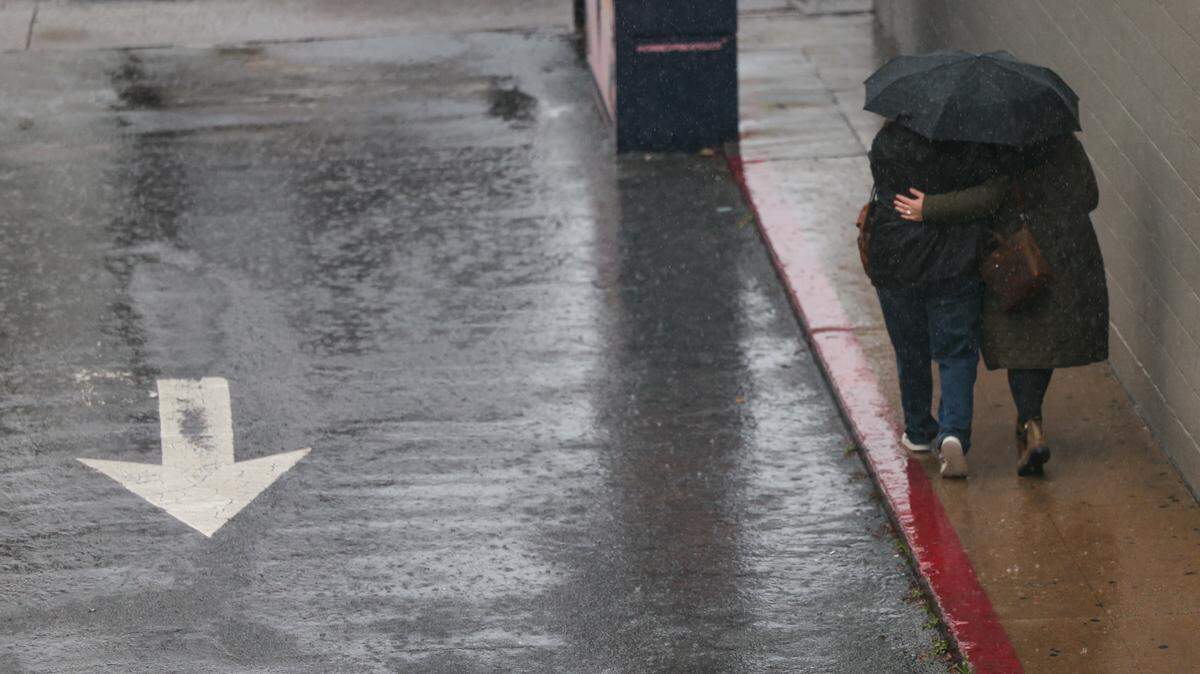
National Weather Service forecasters are predicting that the new storm — expected to hit Monday and Tuesday — could drop 3 to 5 inches of rain along the South Coast, and as much as 8 inches in mountain areas.
North County communities are forecast to receive slightly less — 2 to 4 inches.
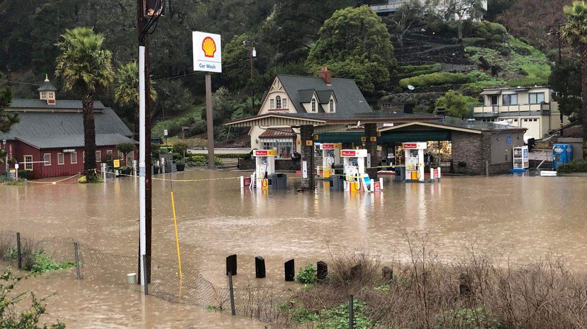
The latest weather system comes on the heels of a powerful storm that soaked the region last week — pushing the county to 187% of normal rainfall to date for the rain year that began Sept. 1, according to the Santa Barbara County Public Works Department.
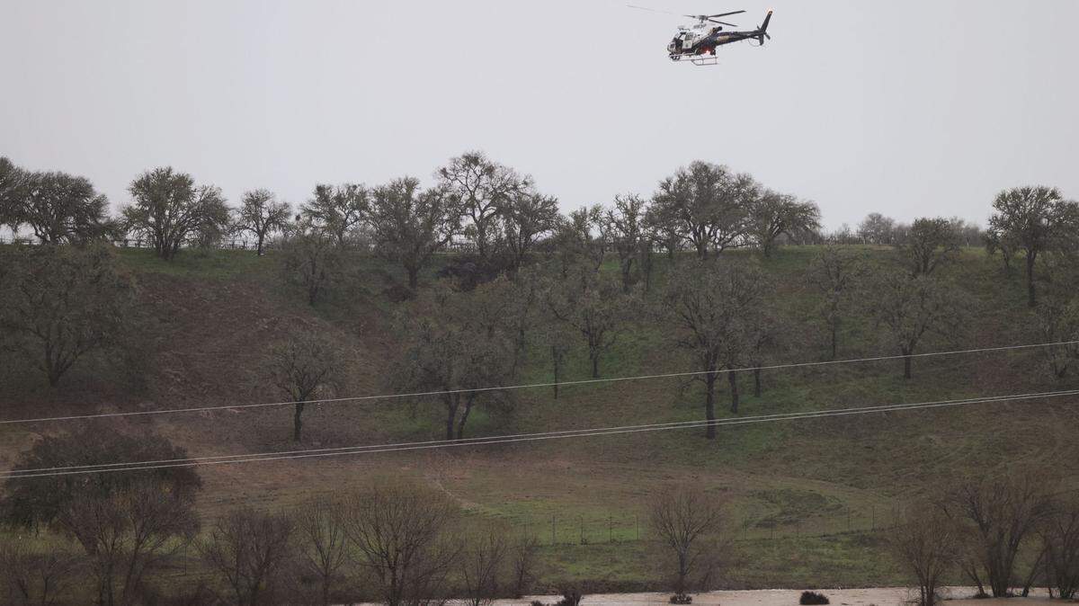
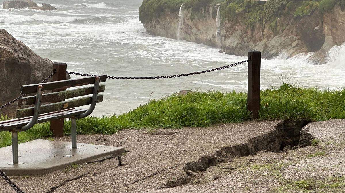
Of particular concern are the neighborhoods in and around the recent wildfire burn scars — from the 2021 Alisal Fire in Refugio Canyon and along the Gaviota coast, the 2019 Cave Fire near the top of San Marcos Passs and the 2017 Thomas Fire in Montecito, Summerland and the Carpinteria Valley.
The loss of chaparral and other vegetation from those blazes puts those areas at greater risk for flooding and debris flows during heavy rains.
Mandatory evacuation orders were issued for those areas for last week’s storm.
Shortly before 4 p.m Sunday, an evacuation warning was issued for the three burn areas, and it’s likely that mandatory evacuations will be ordered on Monday.
“Current forecasts indicate this storm may cause significant flooding countywide,” the county said in an advisory issued Saturday night. “If you are concerned that this storm may cause unsafe conditions to your home, leave the area before rain starts.
“Do not wait for an official evacuation notification to leave.”
The big storm Monday and Tuesday was preceded by a weaker weather system on Sunday. Most areas had received a quarter-inch of rain or less as of late morning, with cloudy skies expect during the afternoon and evening hours.
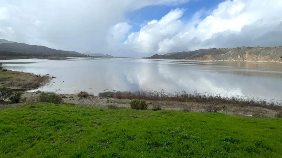
With the soils already saturated, the coming downpours should result in a significant rise in the water level at Lake Cachuma, which has come up nearly 7 feet since early December, and is now at 36.5% of capacity.
Cachuma has a long way to go — it’s still more than 50 feet below spill level — but should see another good-size rise in the lake level from runoff from the coming storm.
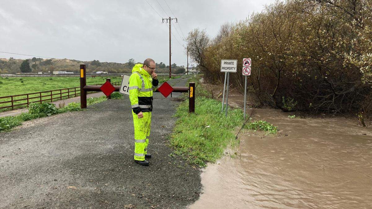
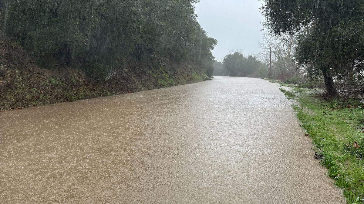
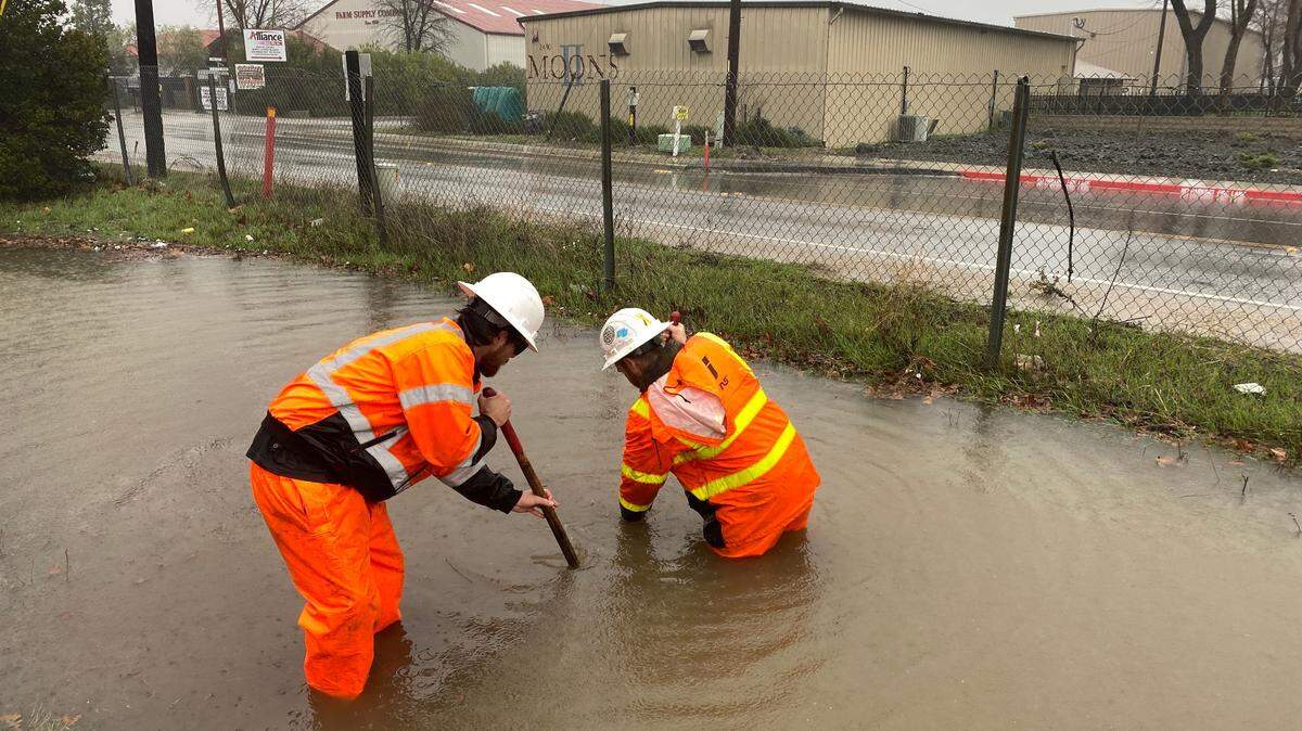
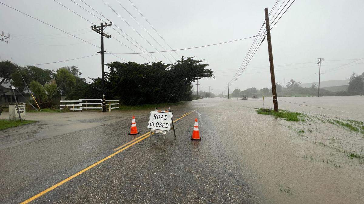
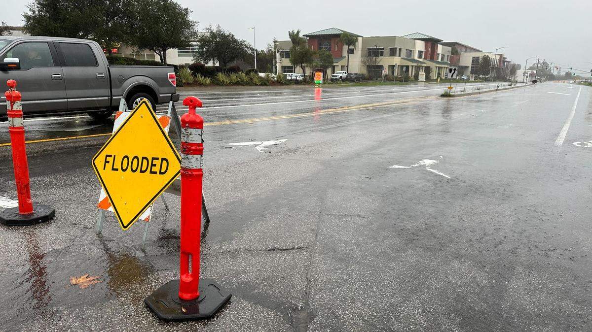
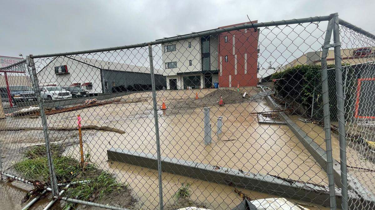
Meanwhile, a flood watch was issued by the weather service for the entire county, effective from 7 a.m. Monday until 11 a.m. Tuesday.
“Significant flash flooding is possible anywhere,” according to the NWS statement. “This includes mud and debris flows in and below the Alisal burn scar. Urban areas should expect significant flooding of some roads and freeways, with major delays or closures.”
A beach hazards statement was issued warning of dangerous rip currents and large waves. It will remain in effect until Monday afternoon.
A high wind watch also was issued, and will be in effect from Monday morning until Tuesday afternoon.
According to the weather service, south to southwest winds of 25 to 40 mph are expected, with gusts to 60 mph.
“Damaging winds could blow down large objects such as trees and power lines. Power outages are possible. Travel could be difficult, especially for high-profile vehicles.
“The threat of thunderstorms with this storm system, combined with very wet soils, will bring an increased risk for down trees and power lines.”
This story was originally published January 9, 2023 at 8:25 AM.

.JPG)
_fitted.png)
.JPG)