Red flag warning for Northern California as gusts threaten existing fires, new starts
READ MORE
California Wildfires
The latest on the wildfires burning in California. Get updates on the Caldor Fire, Dixie Fire and others, including size, containment, evacuation orders and more.
Expand All
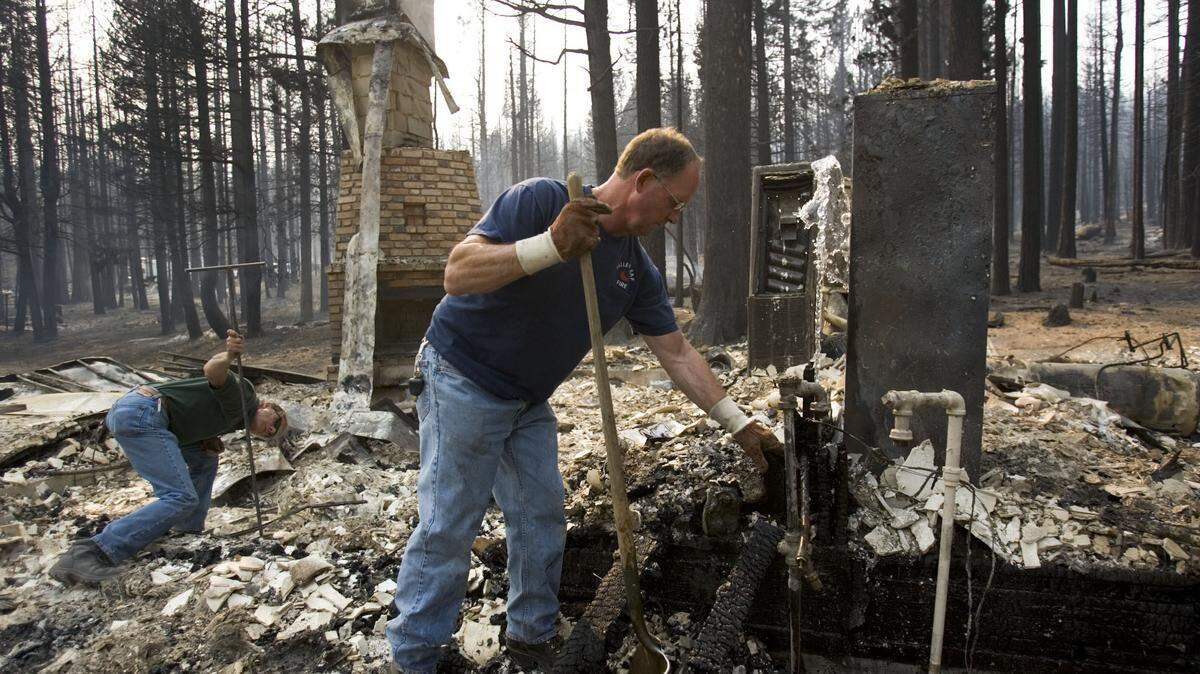
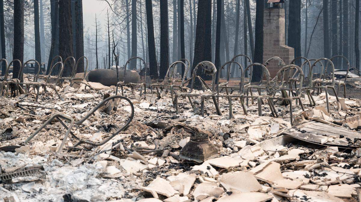
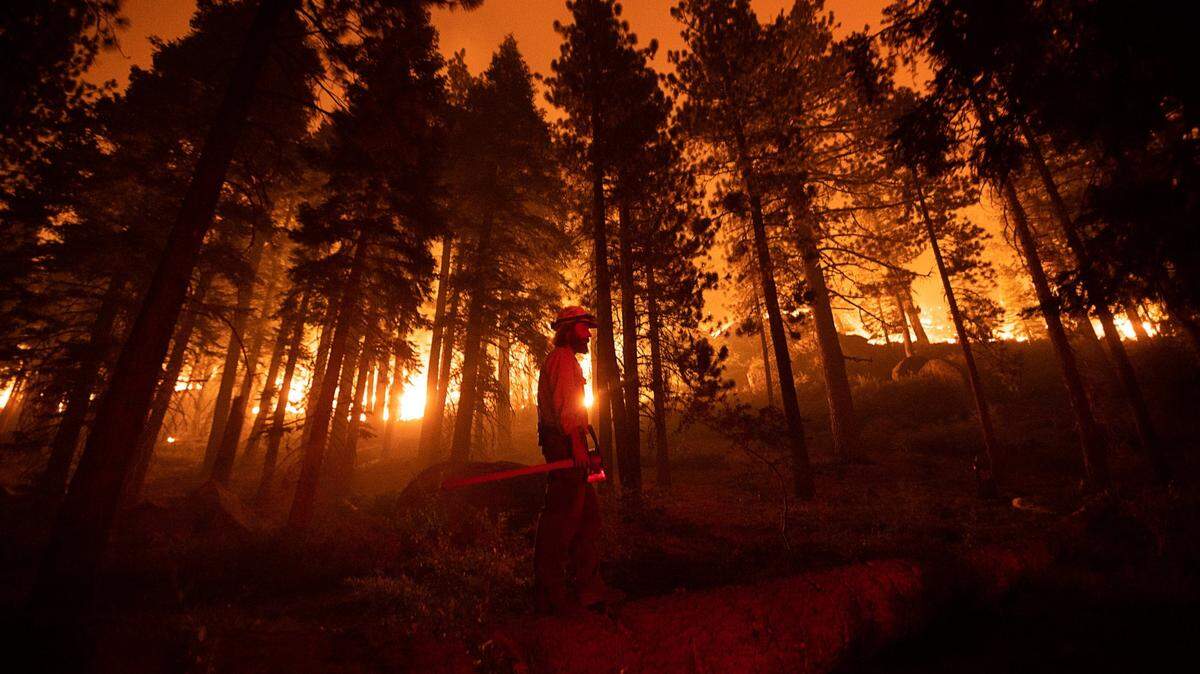
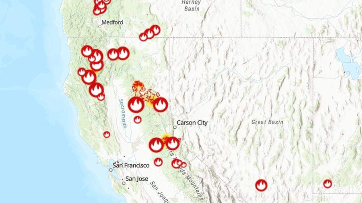
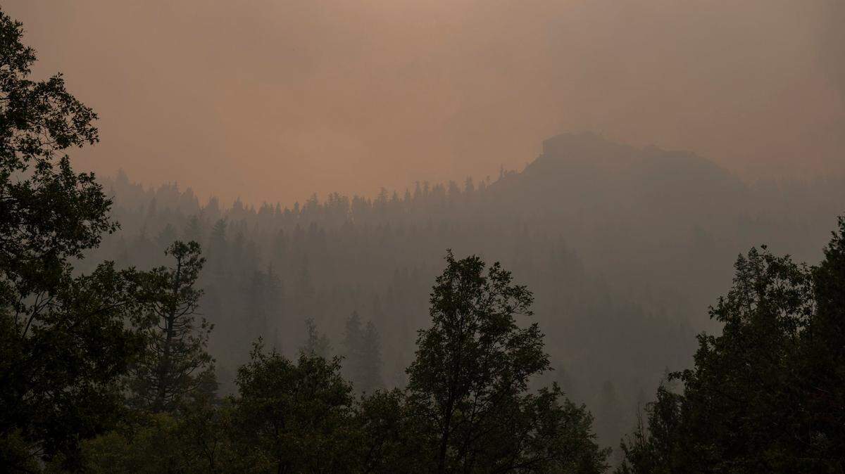
Already besieged by major wildfires in the Sierra Nevada foothills and other northern reaches of the state, Northern California must brace for another round of gusty weather Friday and into the weekend.
The National Weather Service on Thursday issued a red flag warning, in place 5 a.m. Friday to 11 a.m. Saturday for parts of the northern and central Sacramento Valley as well as the foothills.
Gusts could kick up to around 25 mph to 35 mph, with the strongest winds expected midday Friday, the weather service says.
The warning, upgraded from an earlier fire weather watch, includes most of Shasta County and parts of Glenn, Colusa, Yuba, Sutter and Butte counties, as well as Shasta-Trinity National Forest. Gusty winds are coinciding with lower humidity and extremely dry fuels due to California’s ongoing drought.
“Any active fires or new fires that develop will likely spread rapidly,” the NWS Sacramento office wrote in a bulletin.
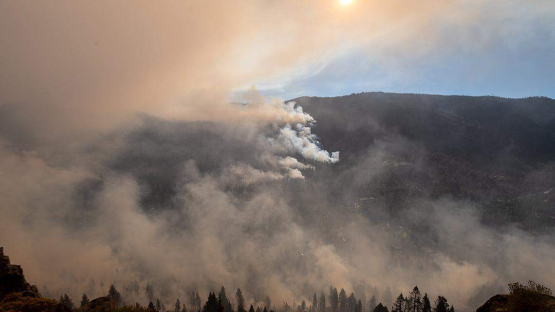
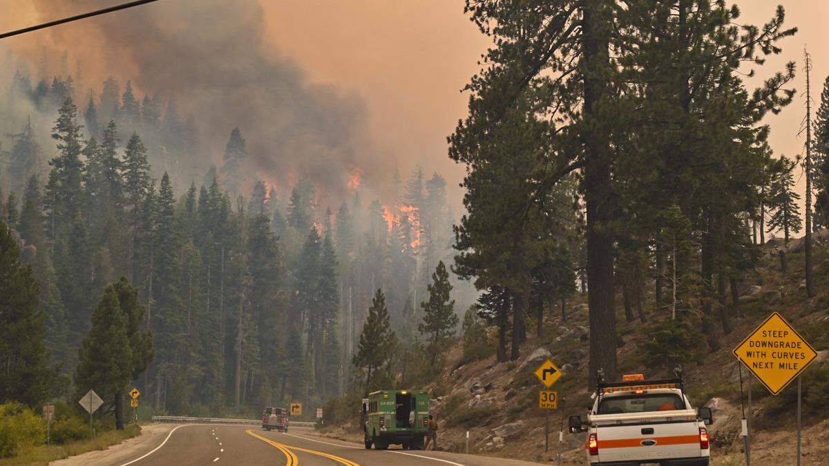
The weather service specifically noted that the warning includes zones of the McFarland Fire, a lightning-sparked wildfire that has been burning for nearly a month south of Highway 36 near Wildwood.
U.S. Forest Service officials on Thursday morning reported the McFarland Fire at more than 122,500 acres, but with 84% containment thanks to calm conditions early in the week.
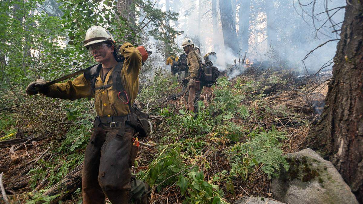
Crews totaling nearly 700 personnel are working to mop up hot spots near containment lines to ensure the fire does not break containment with the wind, according to Thursday’s update.
Gusty winds will also likely carry smoke from the McFarland Fire and nearby Monument Fire down from Trinity County toward the Sacramento region, according to weather service forecast models.
Winds are not expected to be as strong over the Caldor Fire, burning in El Dorado County along Highway 50 between Pollock Pines and the Lake Tahoe basin. Forecasts in those areas show wind speeds in the single digits through Saturday. They’re also expected to stay moderate Friday and Saturday over the Dixie Fire, burning in Lassen and Plumas counties.
How hot will it be?
Northern California will also get an unseasonably hot stretch, including extreme heat this weekend along the North Coast region.
Weather service forecasts show Ukiah could reach 104 degrees Saturday and 102 Sunday. A heat advisory from the weather agency says temperatures up to 110 degrees are possible in parts of Mendocino and Lake counties.
Forecasts show a high of 98 degrees Friday in Sacramento, followed by 100 on Saturday and 101 Sunday, which would be about 10 degrees hotter than normal for late August. Sacramento is expected to cool to the mid-90s by Monday.
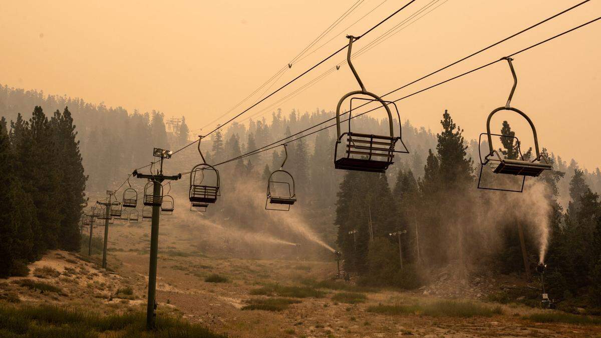
However, it could stay cooler any of those days depending on the thickness of wildfire smoke, which could block out sunlight. It’s not uncommon for heavy, lingering smoke to keep Sacramento at least 10 degrees cooler than the day’s forecast high.
Also set for heat is South Lake Tahoe, which forecasts show could approach 90 degrees this weekend. However, the cooling effect from smoke is possible there as well.
This story was originally published August 26, 2021 at 9:47 AM with the headline "Red flag warning for Northern California as gusts threaten existing fires, new starts."

.JPG)