SLO County weather forecast for week of Nov. 1: Big change on the way — a chance for rain!
Much like last week, mostly clear skies will continue, but a major change in the weather pattern could develop by the end of this week.
A classic Central Coast fall weather pattern will continue through Thursday as moderate to fresh (13 to 24 mph) Santa Lucia (northeasterly) winds develop during the morning hours. These winds will continue to keep the marine low clouds out to sea; however, variable amounts of smoke from the Creek Fire in the central Sierra Nevada will continue to move over the Central Coast.
High pressure will kick off a Central Coast warming trend with daytime highs ranging from the upper 60s to mid-70s along the coast to the mid-80s to the low-90s in the coastal (San Luis Obispo) and inland (Paso Robles) valleys through Thursday. Monday is expected to be the warmest day. The warm days will be accompanied by mild to cool mornings, with some of the sheltered coastal valleys possibly dropping into the upper 30s at the coldest times.
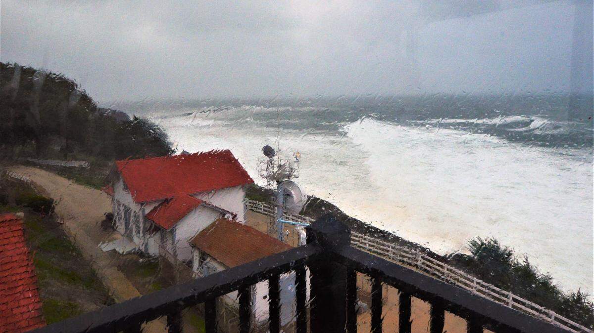
A cold front is expected to impact the Central Coast on Friday through next Sunday. This system will produce gale-force northwesterly winds, cooler temperatures and a chance of precipitation.
The European Centre for Medium-Range Weather Forecasts (ECMWF) model is advertising rain for the Central Coast on Friday through Saturday, while the NOAA’s Global Forecast System (GFS) model keeps the rain confined to the Sierra Nevada and the Northern California mountains. Remember, these long-range models are subject to a great deal of change. Stay tuned.
Surf report
A 3- to 5-foot northwesterly (300-degree, deep-water) swell (with an 8- to 18-second period) is forecast along our coastline on Sunday into Monday. Increasing northwesterly winds along the coastline will generate a 4- to 6-foot northwesterly (310-degree, deep-water) sea and swell (with a 5- to 15-second period) on Tuesday through Thursday.
Moderate gale-force to fresh gale-force (32 to 46 mph) northwesterly winds off the California coastline will produce an 8- to 10 foot northwesterly (310-degree, deep-water) sea and swell (with a 5- to 14-second period) on Friday, increasing to 10 to 12 feet (with a 7- to 11-second period) on Saturday into next Sunday.
Seawater temperatures will range between 56 and 59 degrees through Thursday, decreasing 51 to 54 degrees on Friday through next Sunday.
This week’s temperatures
LOWS AND HIGHS, PASO ROBLES
SUN | MON | TUE | WED | THU | FRI | SAT | SUN |
41, 90 | 43, 91 | 44, 90 | 43, 89 | 44, 88 | 45, 82 | 41, 73 | 40, 67 |
LOWS AND HIGHS, SAN LUIS OBISPO AND COASTAL VALLEYS
SUN | MON | TUE | WED | THU | FRI | SAT | SUN |
49, 86 | 49, 87 | 50, 84 | 51, 89 | 56, 89 | 54, 80 | 49, 70 | 45, 63 |
PG&E safety tip
If it rains on Friday and Saturday, it will mix with dirt and oil that has accumulated throughout the summer, leaving roads slick. The rate of accidents on our freeways in wet weather can increase as much as 300 percent. If you need to drive on Friday and Saturday, please slow down, it takes much longer to stop a moving vehicle with the roads are slippery.
John Lindsey’s is PG&E’s Diablo Canyon marine meteorologist and a media relations representative. Email him at pgeweather@pge.com or follow him on Twitter @PGE_John.