SLO County could see foot of snow on its peaks, dangerous seas offshore, John Lindsey says
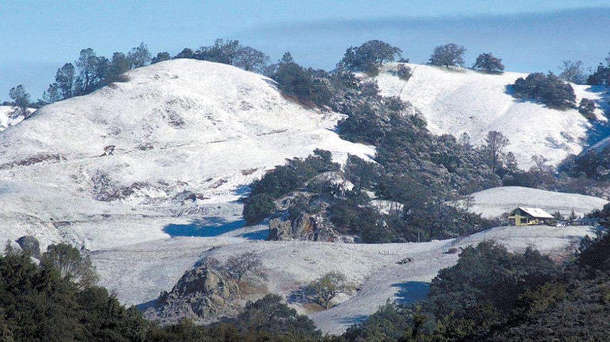
Mountains in San Luis Obispo County could see up to a foot of snow this week as a cold, windy storm moves through the region, according to the National Weather Service.
The snow could start Wednesday night and possibly last through Thursday into Friday.
The agency is forecasting up to 8 to 12 inches of snow in the mountains east of San Simeon and in the Temblor Range near the Carrizo Plain, both of which top 3,500 feet.
According to the Weather Service, snow could fall as low as 1,000 feet, affecting many of the peaks on the Central Coast.
San Luis Obispo meteorologist John Lindsey, however, doesn’t expect snow to fall at that low of an elevation here.
Lindsey predicted that snow will fall in areas as low as 1,250 feet to 1,750 feet in elevation, with snowfall becoming more likely and accumulating more substantially at higher elevations.
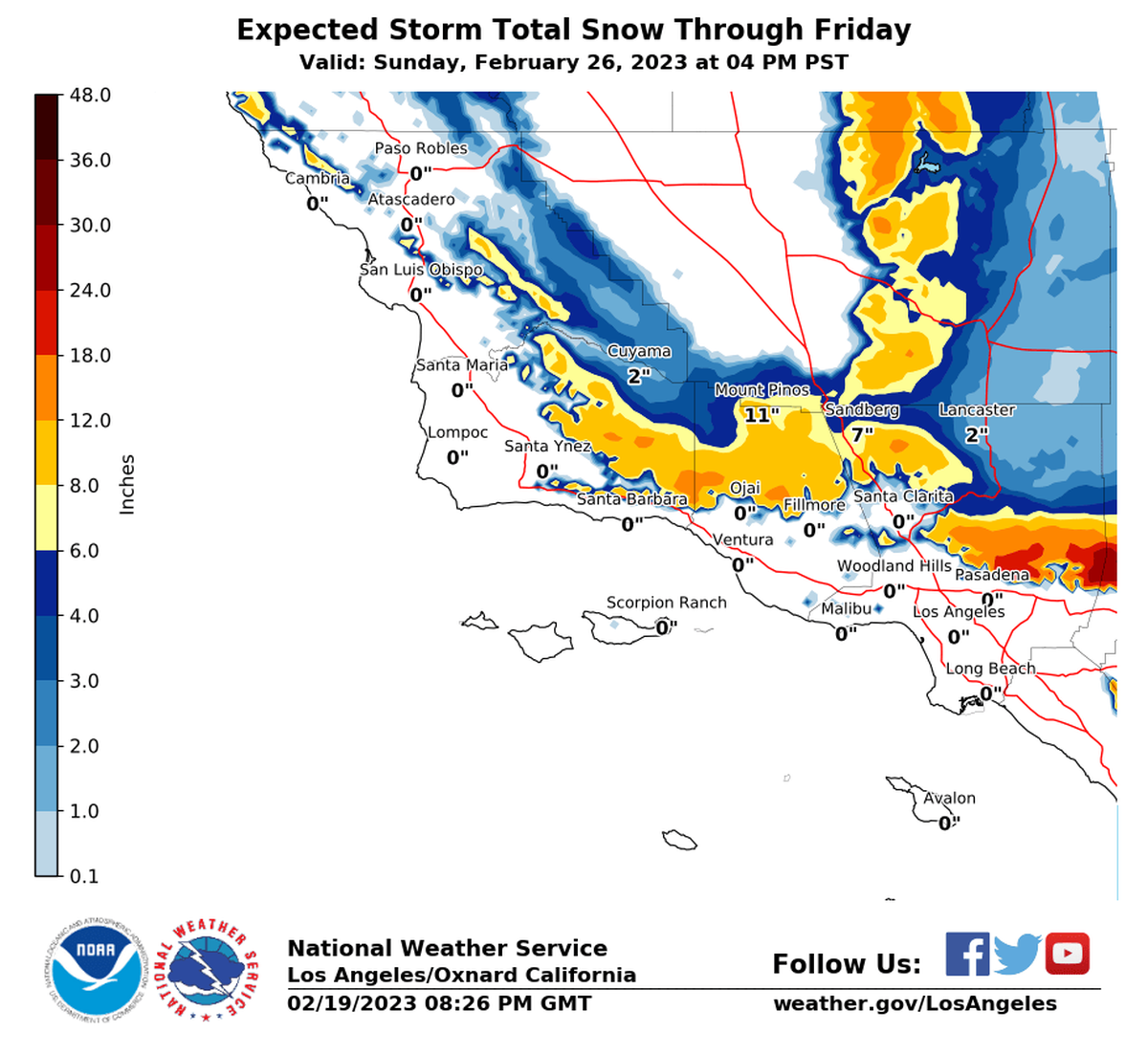
Snow is unlikely to fall in coastal areas because of a warmer, northwesterly wind blowing in from the ocean, Lindsey said.
However, he said, SLO County’s inland areas might be dusted with snow.
“I wouldn’t be surprised at all to hear about snow flurries in Atascadero, Paso Robles, Shandon, Creston or Pozo,” Lindsey said.
The summits of Highway 46 and the Cuesta Grade may get 1 to 4 inches of snow, as both are more than 1,500 feet in elevation.
“The higher passes ... may see a dusting of snow perhaps,” Lindsey said. “That wouldn’t be out of the question.”
Snow will fall lightly and melt quickly in areas closer to 1,250 feet in elevation, Lindsey said.
In these areas, a mixture of snow and hail known as graupel is more likely to fall.
In higher elevation areas, however, the snow will be more substantial, he said.
“(For) making snowmen, you need at least a couple of inches,” Lindsey said.
SLO County’s coastal areas can expect 0.75 to 1.5 inches of rain this week, Lindsey said, after scattered showers on Thursday give way to steady to moderate rain on Friday, and more showers on Saturday.
‘Dangerous’ waters forecast for SLO County coastline
Meanwhile, the storm will bring hazardous ocean conditions, Lindsey said.
He cautioned SLO County mariners to brace themselves as heavy wind and high seas barrel ashore this week.
Strong, northwesterly winds will howl along the coast Tuesday night into Wednesday morning, he said.
“It’s going to be really noisy along the coastline,” Lindsey said.
On Tuesday and Wednesday, the coast can expect northwesterly wind gusts of 35 to 45 knots, with isolated storm force gusts reaching 50 knots, the National Weather Service said.
Steep seas could reach 10 to 17 feet high, according to the agency.
“I’ve never seen a northwesterly seas come up this quickly, and seas are more dangerous because they have a much steeper face,” Lindsey said. “They can totally capsize a boat.”
Conditions will become dangerous quickly, he said.
“We’ve definitely seen winds of this magnitude and seas of this height. What makes this unique is the ocean’s been gorgeous the past few days,” Lindsey said. “The winds and the sea swell are going to have an explosive increase in height — and that’s really unusual.”
Lindsey urged boaters to find safe harbor during the storm.
“The wave faces are extraordinary steep — and that’s where you get all all kinds of problems with your boat getting swamped or capsized,” Lindsey said. “I hope all the ship captains and boat captions take safe harbor and keep their vessels and crews safe.”
This story was originally published February 21, 2023 at 1:53 PM.