
Get ready for clear skies and warm days, SLO County. This week’s weather forecast
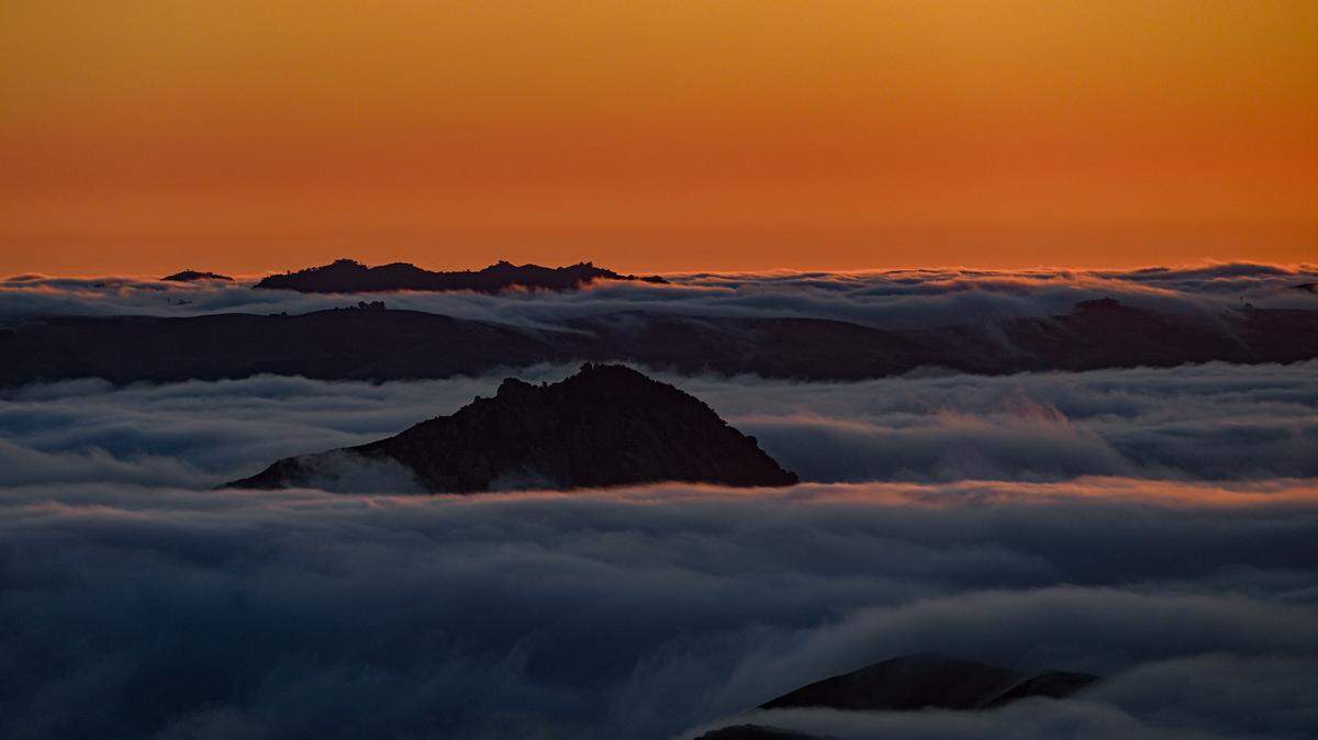
The Central Coast can expect mostly clear skies from Saturday to Monday, while Santa Lucia (northeasterly) winds produce much warmer temperatures.
Persistent onshore (northwesterly) winds and near-normal seasonal temperatures will start Monday afternoon and continue through next weekend. Along the coastline, marine low clouds will persist during the night and morning, followed by afternoon clearing.
A ridge of high pressure over Central California will produce gentle to moderate (8 to 18 mph) Santa Lucia (northeasterly, offshore) winds during the night and morning, followed by fresh to strong (19 to 31 mph) northwesterly (onshore) winds in the afternoon.
This pattern will continue through Monday morning, producing mostly clear skies and much warmer temperatures with the inland valleys, including Paso Robles, ranging between the high 80s to low 90s, while coastal valleys such as San Luis Obispo will hit the low 80s.
Along the beaches, temperatures will range between mid-to-high 70s during the late morning, cooling during the afternoon as the onshore winds bring a cooler air mass to the coastline.
Persistent northwesterly winds (onshore flow) will develop later Monday and continue through next weekend, allowing widespread marine low clouds, with pockets of mist and drizzle, to develop along the beaches and coastal valleys during the night and morning, clearing during the late morning and afternoon.
For the rest of the week, daytime highs will generally reach the low 90s across inland valleys, including Paso Robles, while coastal valleys such as San Luis Obispo will remain cooler in the mid-to-upper 70s.
Beach communities will generally remain in the low-to-mid 60s, although south-facing beaches such as Cayucos, Avila Beach and Shell Beach could warm into the lower 70s.
The afternoon northwesterly winds are forecast to reach strong to gale-force levels (25 to 38 mph with gusts up to 45 mph) along the coast from Tuesday through next Sunday.
However, the northwesterly winds may reach moderate gale-force to fresh gale-force levels (32 to 46 mph with gusts to 50 mph) along the coastline on Wednesday.
Looking farther ahead, dry weather is expected to continue throughout June, which is typical as California’s rainy season draws to a close.
Surf report
A 6- to 8-foot northwesterly (300-degree, deep water) sea and swell (with a 7- to 11-second period) is expected through Monday, decreasing to 5- to 7-feet with the same period on Tuesday.
This northwesterly sea and swell will build to 8- to 10-feet (with the same period) on Wednesday, lowering to 5- to 7-feet (with a 7- to 11-second period) on Thursday and will remain at this level through next weekend.
Storm activity in the Southern Hemisphere has significantly increased. Consequently, a series of long-period Southern Hemisphere swell trains will arrive along our coastline during the first half of June.
A 1- to 2-foot Southern Hemisphere (210-degree, deep water) swell (with a 16- to 18-second period) is forecast to arrive along the Central Coast on Monday through Tuesday.
A 2- to 3-foot Southern Hemisphere (210-degree, deep water) swell (with a 15- to 18-second period) is forecast Wednesday through Saturday.
A 2- to 4-foot Southern Hemisphere (215-degree, deep water) swell (with a 15- to 18-second period) is forecast next Sunday and Monday.
Seawater temperatures will range between 52 and 54 degrees through Tuesday, decreasing to 50 and 52 degrees on Wednesday into next Sunday.
On this date in weather history (May 31)
1889: A dam failure in Pennsylvania caused the deadliest flood in United States history, known as the Johnstown Disaster. Heavy rains collapsed the South Fork Dam, sending a 30-foot wall of water rushing down the already flooded Conemaugh Valley. The wall of water, traveling as fast as 22 feet per second, swept away all structures, objects and people. The flood killed 2,100 people. (David Ludlum)
1941: Thunderstorms deluged Burlington, Kansas, with 12.59 inches of rain, establishing a 24-hour rainfall record for the state.
1988: Hot and humid weather prevailed in the eastern United States, and 13 cities reported record-high temperatures for the date. Cape Hatteras, North Carolina, reported their first 90-degree day in May in 115 years. Meanwhile, “dust buster” thunderstorms in northwest Texas drenched Amarillo with more than 3 inches of rain. (The National Weather Summary)
This week’s temperatures
LOWS AND HIGHS, PASO ROBLES
SUNDAY: 52, 91
MONDAY: 54, 91
TUESDAY: 53, 90
WEDNESDAY: 54, 93
THURSDAY: 55, 92
FRIDAY: 55, 90
SATURDAY: 56, 91
SUNDAY: 56, 92
LOWS AND HIGHS, SAN LUIS OBISPO AND COASTAL VALLEYS
SUNDAY: 51, 82
MONDAY: 53, 81
TUESDAY: 53, 74
WEDNESDAY: 54, 77
THURSDAY: 56, 75
FRIDAY: 54, 78
SATURDAY: 55, 79
SUNDAY: 56, 78
John Lindsey is a retired PG&E marine meteorologist. Email him at JohnLindseyLosOsos@gmail.com or follow him on X @PGE_John.