Triple-digit temperatures coming to parts of SLO County. Here’s what’s in the forecast
Last week, Tropical Storm Hilary produced record-breaking rainfall amounts throughout Southern California east of the Santa Barbara-Ventura County line.
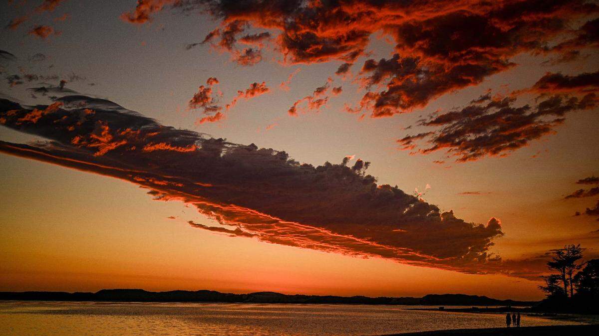
Much of the Central Coast remained dry but muggy.
For the first part of this upcoming week, gale-force afternoon northwesterly winds and clearing skies are expected along the coastline, while hot inland temperatures will develop. By the latter half of the week, decreasing winds and a deepening marine layer is forecast.
A significant change in the weather pattern is expected on Sunday as a 595-decameter upper-level high-pressure system develops over the Central Coast, while a 1,023-millibar Eastern Pacific High remains anchored about 1,200 miles to the west of SanLuis Obispo County.
This condition will produce strong to gale-force (25 to 38 mph) northwesterly winds and clearing skies along the coastline during the afternoon, with areas of coastal stratus clouds developing overnight.
Away from the shoreline, warm-to-hot temperatures are expected in the coastal and inland valleys on Sunday through Wednesday.
High temperatures over this period will range from the low to mid 60s along the coastline — except the southerly-facing beaches of Cayucos, Avila and Shell Beach, which will run from the high 70s to the mid 80s.
The coastal valleys (San Luis Obispo) will hit the high 80s on Sunday and the low 90s on Monday, Tuesday and Wednesday. The inland valleys (Paso Robles) will reach triple-digit readings, with Tuesday being the hottest day, with an expected high of 106 degrees.
The upper-level high-pressure system will move eastward; consequently, the northwesterly winds will decrease along the coastline, and the marine layer will deepen with pockets of night and morning fog and mist and cooler throughout the region.
In fact, many of the beaches will remain overcast throughout the day.
The long-range models indicate significant monsoonal moisture moving northward into far eastern California, Arizona and New Mexico. The Central Coast is expected to remain dry.
There is no indication of any Santa Lucia (northeasterly/offshore) wind events developing through the first half of September.
Surf Report
Strong to gale force (25 to 38 mph) northwesterly winds will generate a 6- to 8-foot northwesterly (310-degree, deep-water) sea and swell (with a 5- to 10-second period) on Sunday through Wednesday.
A 5- to 7-foot northwesterly (295-degree, deep-water) swell (with an 8- to 11-second period) is expected along our coastline on Thursday, decreasing to 4 to 6 feet on Friday and 3 to 5 feet on Saturday.
Combined with this northwesterly swell will be a 1- to 2-foot Southern Hemisphere (195-degree, deep-water) swell (with a 16- to 18-second period) on Friday through Saturday.
Seawater temperatures will range between 60 and 62 degrees through Sunday, decreasing to 56 to 58 degrees on Monday into Wednesday.
Seawater temperatures will warm on Thursday into Saturday.
This week’s temperatures
LOWS AND HIGHS, PASO ROBLES
SUN | MON | TUE | WED | THU | FRI | SAT | SUN |
62, 102 | 63, 103 | 63, 106 | 62, 103 | 60, 99 | 59, 97 | 58, 95 | 59, 94 |
LOWS AND HIGHS, SAN LUIS OBISPO AND COASTAL VALLEYS
SUN | MON | TUE | WED | THU | FRI | SAT | SUN |
58, 88 | 60, 91 | 61, 91 | 61, 87 | 59, 78 | 58, 77 | 57, 76 | 57, 77 |
John Lindsey is a retired PG&E marine meteorologist. Email him at JohnLindseyLosOsos@gmail.com or follow him on Twitter @PGE_John.