
SLO County weather forecast: Misty fog and wind
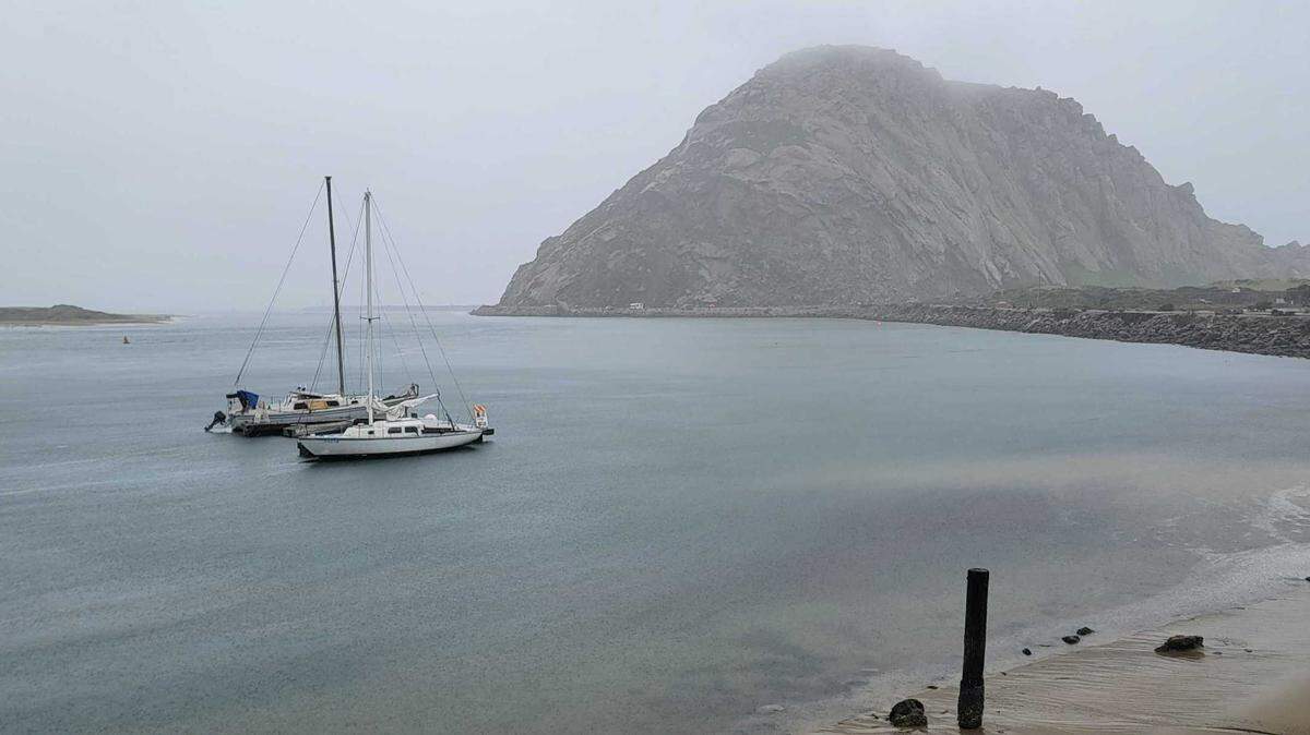
A more active weather pattern will develop this week with a greater chance of rainfall and a deeper more persistent marine layer with areas of night and morning fog and mist.
A pattern of fresh to strong (19 to 31 mph) northwesterly winds developing during the afternoon, decreasing during the night and morning, will allow the marine layer plenty of night and morning stratus low clouds with areas of fog and mist starting on Sunday and continuing through Tuesday. Otherwise, dry and clear weather is forecast through Tuesday.
Temperatures over this period will be seasonal, with the Inland valleys (Paso Robles) reaching the mid-70s and the coastal valleys (San Luis Obispo) the mid to high-60s. The beaches will range between the high-50s to the low-60s. Mild overnight lows are expected on Sunday into Tuesday.
Wednesday will be a transitional day with decreasing northwesterly winds and increasing mid to high-level clouds.
Typhoon Malakas off the Japanese coastline will become extratropical as it moves northeastward into the Northern Pacific. This storm is forecast to take aim at California and may produce gusty southerly winds and widespread rain throughout the Central Coast from Thursday into Friday. At this time, rainfall amounts are forecast to range between 0.50 and 1.00 inches of rain.
Fair, dry, and warmer weather is then expected next weekend into the following week as high pressure rebuilds over Central California with temperatures rising back to near or slightly above normal.
Surf report
Sunday’s 4- to 6-foot northwesterly (300-degree, deep-water) sea/swell (with a 5- to 11-second period) will continue into Monday morning, decreasing to 3 to 5 feet (with a 5- to 9-second period) on Monday afternoon into Tuesday morning. This northwesterly seas and swell will build back to 4- to 6-feet (with a 7- to 13-second period) on Tuesday afternoon onto Wednesday.
Typhoon Malakas off the Japanese coastline is forecast to become extratropical as it moves northeastward into the Northern Pacific. A long-period west-northwesterly (285-degree, deep-water) swell will arrive along our coastline on Thursday at 6- to 8-feet (with a 19- to 21-second period), peaking at 9- to 11-feet (with a 16- to 18-second period) on Friday morning.
Strong to gale-force northwesterly winds will generate a 9- to 11-foot northwesterly (310-degree, deep-water) sea/swell (with a 5- to 16-second period) on Friday afternoon and night, decreasing to 6- to 8-feet (with a 7- to 14-second period) by Saturday.
Relentless northwesterly winds have increased upwelling along the Central Coast. Consequently, seawater temperatures have dropped to a chilly 49 degrees at the Diablo Canyon Waverider Buoy. Seawater temperatures will range between 49 and 52 degrees through Tuesday.
This week’s temperatures
LOWS AND HIGHS, PASO ROBLES
SUN | MON | TUE | WED | THU | FRI | SAT | SUN |
40, 77 | 40 ,76 | 44, 72 | 39, 71 | 42, 67 | 42, 65 | 38, 72 | 40, 75 |
LOWS AND HIGHS, SAN LUIS OBISPO AND COASTAL VALLEYS
SUN | MON | TUE | WED | THU | FRI | SAT | SUN |
44, 68 | 44 ,69 | 49, 66 | 45, 65 | 47, 64 | 47, 61 | 45, 66 | 47, 70 |
PG&E safety tip
If it rains this week, be especially careful; rain could release oil and grease that has accumulated on our roadways, creating slippery conditions. Please, slow down and give yourself extra time to reach your destination. Driving too fast is the No. 1 cause of accidents on wet days.
John Lindsey’s is PG&E’s Diablo Canyon marine meteorologist and a media relations representative. Email him at pgeweather@pge.com or follow him on Twitter @PGE_John.