SLO County weather forecast for the week of July 26: Paso Robles could hit triple digits
A period of tranquil weather for the Central Coast will continue through Thursday morning with only subtle day-to-day changes as moderate to fresh (13 to 24 mph) afternoon northwesterly winds developed along the coastline.
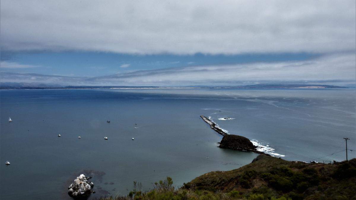
This condition will produce marine low clouds with night and morning mist and fog in the coastal regions and mostly clear skies in the inland areas.
Sunday’s highs will range between the low-90s in the inland valleys (Paso Robles) and mid-70s in the coastal valleys (San Luis Obispo). The beaches will remain in the 60s.
Away from the Central Coast, monsoonal moisture, coupled with some instability from the weak weather system, will drive afternoon thunderstorm development over the high Sierra Nevada through Monday.
The storms are expected to be generally confined to the higher elevations, but there is a slight chance of storms drifting westward toward the foothills; periods of moderate to heavy rainfall, gusty winds, and frequent lightning are possible with any storm that develops.
High pressure will expand from the Desert Southwest on Thursday afternoon through next weekend resulting in strong to gale-force (25 to 38 mph) northwesterly winds along the coastline, more sunshine along the shoreline and above-normal temperatures.
Low triple-digit heat is forecast for many of the inland valleys of the Central Coast and all of the Central Valley around next weekend, however, an extreme heat event is not anticipated. Light onshore flow will mitigate some afternoon heating along the coast and the immediate surrounding areas, but above average temperatures are expected.
Surf report
A 3- to 5-foot northwesterly (290-degree, deep-water) swell (with an 8- to 10-second) is forecast along our coastline on Sunday, decreasing to 2 to 4 feet on Monday through Thursday morning. Increasing northwesterly winds will generate a 4- to 6-foot northwesterly (310-degree, deep-water) sea and swell (with a 5- to 8-second period) along our coastline on Thursday afternoon through Saturday.
A 1- to 2-foot Southern Hemisphere (200-degree, deep-water) swell (with a 14- to 16-second period) is forecast to arrive on our coastline on Monday and remain at this level through Wednesday.
Seawater temperatures will range between 56 and 59 degrees through Thursday, decreasing to 54 to 56 degrees on Friday through Saturday.
This week’s temperatures
LOWS AND HIGHS, PASO ROBLES
SUN | MON | TUE | WED | THU | FRI | SAT | SUN |
53, 90 | 53, 91 | 54, 93 | 53, 90 | 52, 97 | 56, 100 | 57, 99 | 57, 100 |
LOWS AND HIGHS, SAN LUIS OBISPO AND COASTAL VALLEYS
SUN | MON | TUE | WED | THU | FRI | SAT | SUN |
55, 76 | 54, 75 | 54, 76 | 55, 76 | 54, 79 | 57, 86 | 58, 83 | 58, 84 |
PG&E safety tip
Ensure that your family knows what to do when extreme weather, natural disasters or other dangerous events occur. Such events can happen quickly and catch you off guard. Make it a priority to create an emergency plan today. Please visit www.pge.com for information.
John Lindsey’s is PG&E’s Diablo Canyon marine meteorologist and a media relations representative. Email him at pgeweather@pge.com or follow him on Twitter @PGE_John.